Jul 10, 2025
Applications and Society
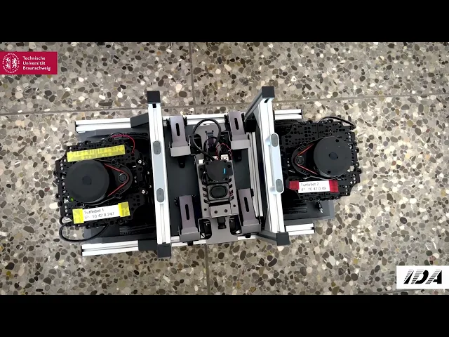
Collaborative Map Stitching With Turtlebots
Audio Note
Share
2
Min Read

Step into the heart of a rescue mission where every second matters, and the environment is a maze of unknowns. Two TurtleBots glide through an indoor space, their LiDAR sensors diligently capturing real-time data to map the surroundings with precision. Linked via WiFi, these robots collaborate seamlessly, merging their sensor data into a single, trustworthy map using an approach to ensure accuracy. A robot dog, guided by this carefully crafted map, navigates the terrain with confidence, pausing safely before an obstacle in a display of coordinated precision. This demonstration illustrates the potential of real-time, collaborative map-building, offering a practical tool to support rescue teams in navigating complex environments with greater confidence and care. The full demo can be seen in the video below.

